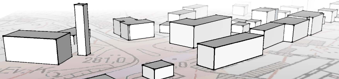
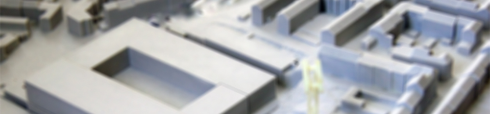
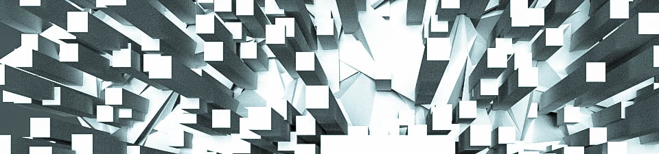
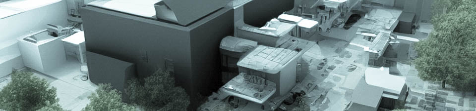
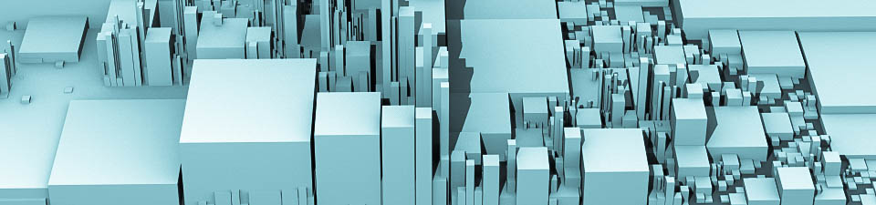
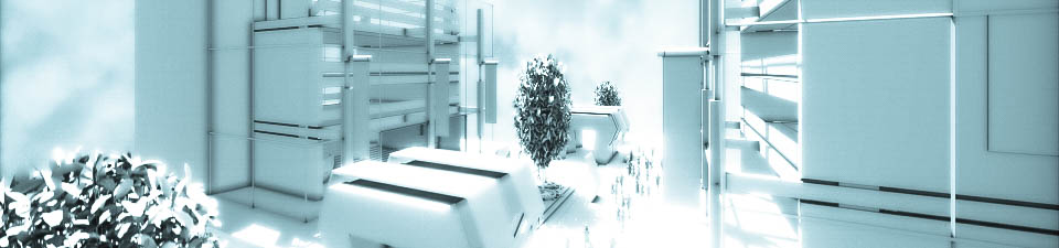
3D City Models
Visualize and document complex spatial and temporal projects with 3D city models. A lot of applications can be supported and extended using 3D city models for achieving project goals such as urban planning and architectural design, while other applications are based on native 3D information like energy and environmental simulations.
A unified and sustainable 3D city model infrastructure can be used as a basis or an extension to existing geodata infrastructure.